 Google style
Mixed lightTOPO DAY
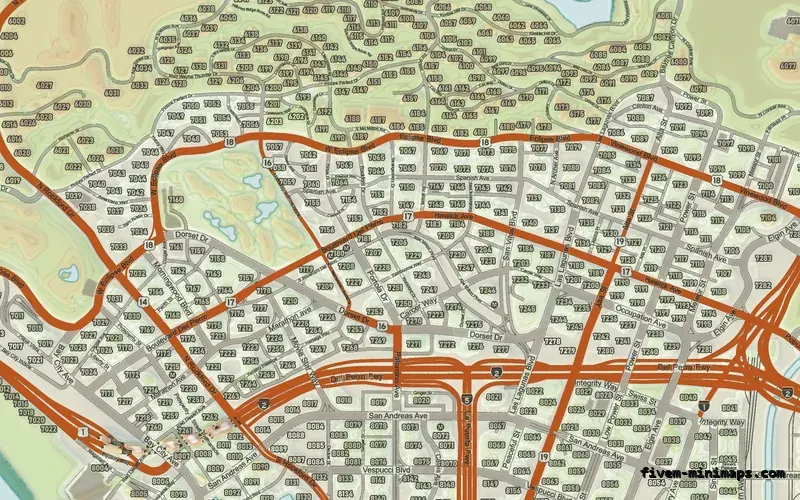
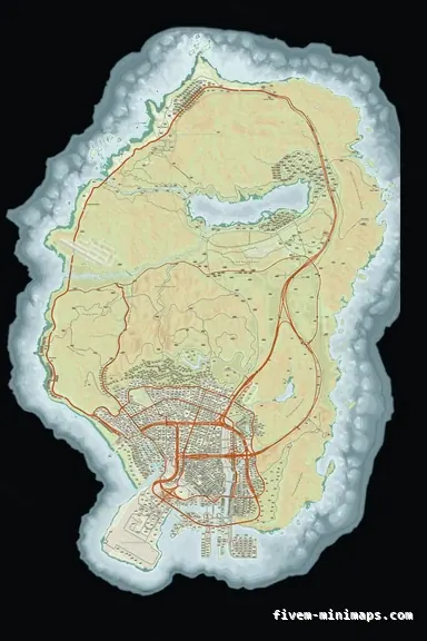
The full atlas: sage lowlands, wheat highlands, cyan water, red freeways.
6144 × 9216 px · 78 files · google style$8.00+ $1 / elementView
Atlas is the style people ask for when "satellite" is too noisy and "dark HUD map" is too plain. It is the look of a printed road atlas: land coloured by what is on it, hills that you can see are hills, a clear difference between a motorway and a side street, and water that gets darker as it gets deeper. It is also the hardest style to do badly, because every one of those decisions is cartography rather than a filter.
Three concrete recommendations rather than a shrug — with the reason attached.
Google styleThe full atlas: sage lowlands, wheat highlands, cyan water, red freeways.
6144 × 9216 px · 78 files · google style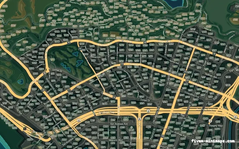
 Google style
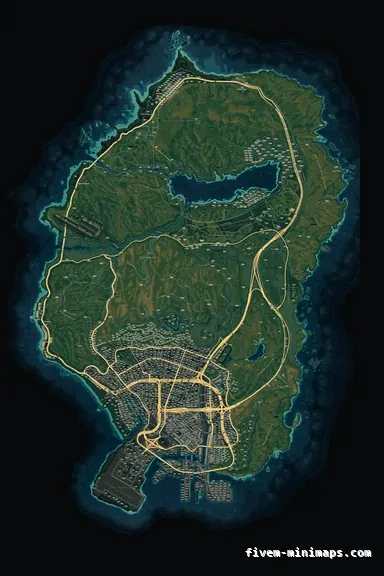
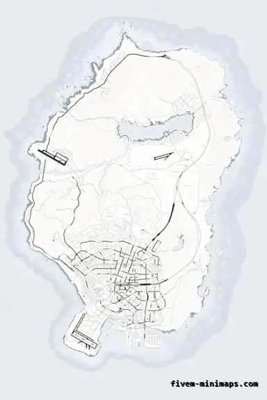
The night edition, coloured by elevation with contour lines.
6144 × 9216 px · 78 files · google style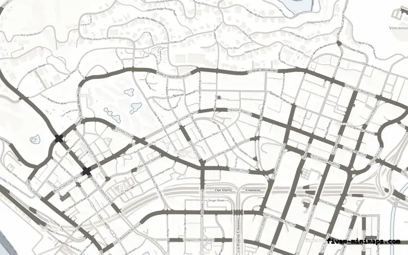
 No postals
The quiet version — paper ground, dark roads, nothing shouting.
6144 × 9216 px · 78 files · without postal codesFour things, in this order of importance. A visual hierarchy, so the eye finds the motorway before the alley. Low-contrast ground, so the blips and the GPS route sit on top of it instead of fighting it. Colour that means something — green is planting, tan is dry ground, blue is deep — rather than colour chosen because it looked nice. And relief, so the map has a shape.
Get those right and you can render the same map in any palette and it still reads. Get them wrong and no palette saves it.
The two topographic palettes colour the land by elevation across eight steps and draw contour lines over it, with a large-scale directional hillshade underneath so ridges have a lit side and a shadowed side. The sea gets its own treatment: a depth ramp plus bathymetric contour lines that follow the real shelf around San Andreas.
That is the part that takes the longest to render and the part nobody can fake with a colour overlay.
All three base styles take any palette, so an atlas look is available with postal numbers baked in, with street names only, or as the full colour street map. Roleplay servers that run a postal script usually want the street-names-only base, because two sets of numbers on one map is worse than none.
Open the live preview and look at any street on any theme before you spend a cent.