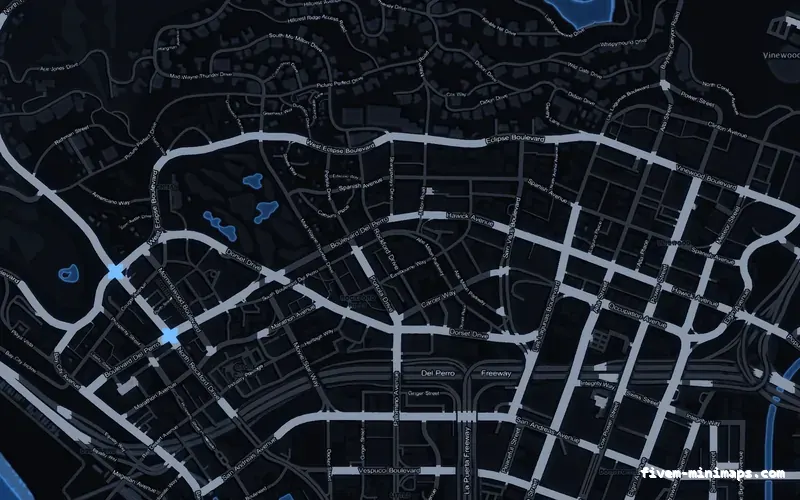
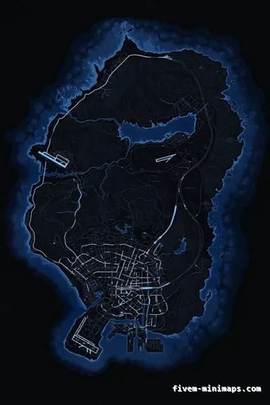
 No postals
BlueCOBALT
Holds its hierarchy at every zoom — the road tiers never collapse together.
6144 × 9216 px · 78 files · without postal codes$8.00+ $1 / elementView
The minimap is not drawn at one size. It pulls in as a player accelerates, expands when they toggle the big map, and goes full screen in the pause menu, and the same six textures serve all of it. Most complaints about a map being unreadable, blurry or transparent are really complaints about one specific zoom, which makes it worth knowing what changes between them.
Three concrete recommendations rather than a shrug — with the reason attached.
No postalsHolds its hierarchy at every zoom — the road tiers never collapse together.
6144 × 9216 px · 78 files · without postal codes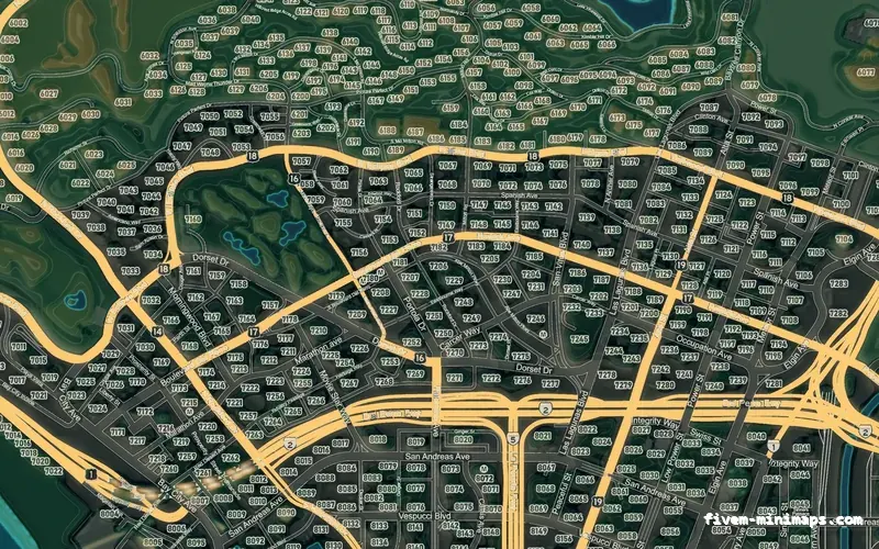
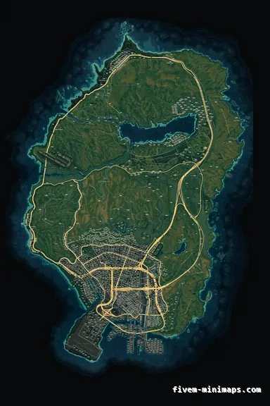 Google style
The map that rewards zooming in, with contour and landuse detail.
6144 × 9216 px · 78 files · google style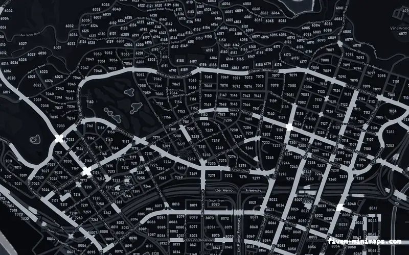
 Postal codes
Numbers that stay out of the way zoomed out and resolve when you zoom in.
6144 × 9216 px · 78 files · with postal codesThe radar is the default: a small view centred on the player, rotating with the camera. It zooms automatically with speed, so a player on foot sees a few streets and a player at motorway speed sees considerably further ahead — which is the game giving you more warning as you need more warning.
The bigmap is the expanded radar most servers bind to a key or show while in a vehicle. It is the same art at a wider view, and it is the scale where street names start to be legible rather than decorative.
The pause map is the whole state, freely zoomable, and it is where the textures are magnified furthest. Everything a map does badly shows up here first.
The zoom behaviour itself is driven by data rather than by the textures: a set of levels describing how far each step zooms and how the map is positioned at each one. It ships inside these resources, so a normal install has nothing to configure.
It matters when two things disagree. If one resource supplies zoom data and another supplies tiles built for something else, you get the classic symptoms: the map going transparent at a particular zoom step, black edges appearing, or the view jumping rather than stepping smoothly. The fix is always to have one resource responsible rather than to adjust values.
Scripts can also set the zoom level directly, which is what map-zoom resources and some MDT and dispatch scripts do. That is a script changing a game setting, not a change to the art, and it works the same with any map installed.
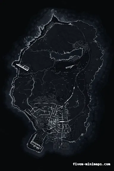
Zooming in does not fetch more detail, because there is no more detail to fetch — the same 6144 by 9216 image is simply magnified. So the sharpest map at pause-map zoom is the one whose art was drawn at that size rather than scaled up to it, and the softest is whichever one was upscaled to hit the number.
Zooming out is the opposite problem. There the GPU needs smaller versions of the texture to sample from, and a pack that ships without them aliases and shimmers instead of resolving cleanly. Between them, those two mechanisms account for most of what people call a low-quality map.
Almost every custom HUD binds an expanded map to a key, and almost nobody checks what their map looks like at that scale before buying. It is worth doing, because it is the view players use for the middle-distance question — where is the call, which way out of this district, how far is the meet — and it is the scale where the decision between a postal base and a clean base actually shows itself.
It is also where the street names start earning their place. On the radar they are too small to read and on the pause map they are one of many things competing for attention; on the bigmap they are exactly the right size, which is the argument for a base style that carries them even on servers that run a postal script.
If you are testing maps before you buy, test them there rather than on the pause screen. It is the closest thing to how the map is used when a player is trying to work something out mid-session.
The reason the road tiers here are separated by brightness rather than hue is that brightness survives every zoom. At the tightest radar view you see two or three roads and need to know which is the fast one; at full pause-map zoom you see the whole network and need the same answer. A hierarchy built on colour delivers one of those and not the other.
Type works the other way. Street names are deliberately sized so they are not legible on the radar — where they would be clutter over a view of four streets — and resolve on the bigmap and the pause map, where a player is actually reading. Postal numbers are set the same way.
This is why a map that looks busy in a full-size product image can be calm in game, and why judging a minimap at full size is misleading in both directions.
Open the live preview and look at any street on any theme before you spend a cent.