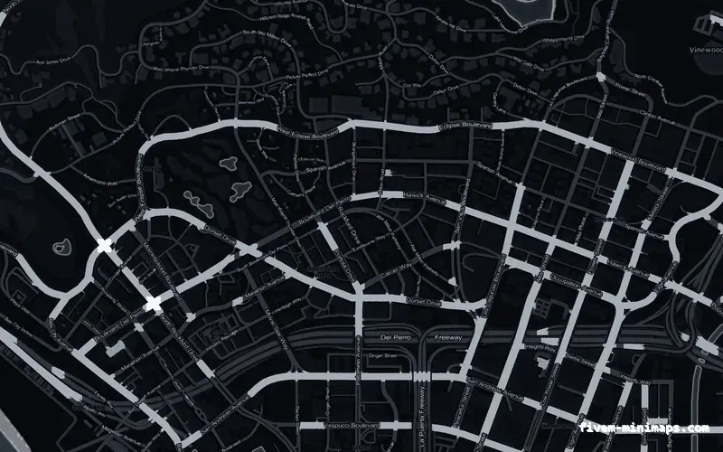
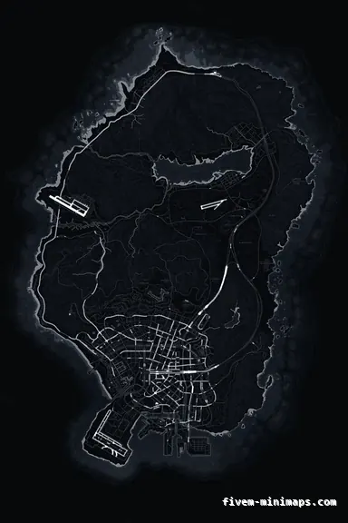
 No postals
BlackOBSIDIAN
Dark and neutral, which is what most MDT and phone interfaces already are.
6144 × 9216 px · 78 files · without postal codes$8.00+ $1 / elementView
A server with a police MDT, a phone and a custom minimap has three separate maps of Los Santos on it, drawn by three different systems that know nothing about each other. Buy a new minimap and exactly one of them changes, which is the moment most people discover the other two exist. The question comes up constantly and the answer is structural rather than a setting somebody forgot.
Three concrete recommendations rather than a shrug — with the reason attached.
No postalsDark and neutral, which is what most MDT and phone interfaces already are.
6144 × 9216 px · 78 files · without postal codes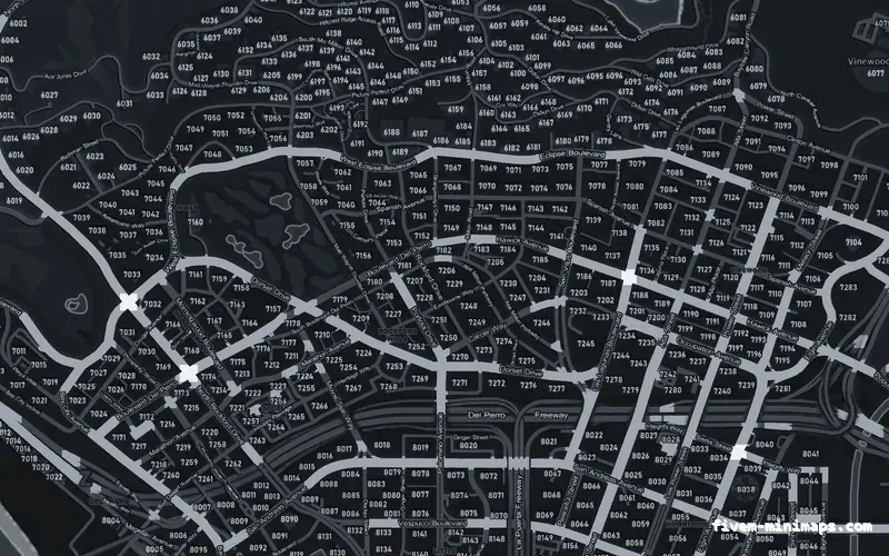
 Postal codes
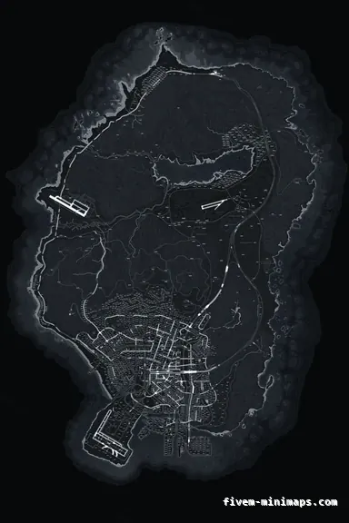
Sits closest to the plain map images most MDTs ship with.
6144 × 9216 px · 78 files · with postal codes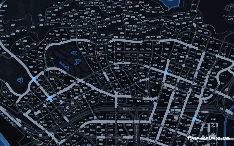
 Postal codes
A cool palette that reads as the same family as most dispatch panels.
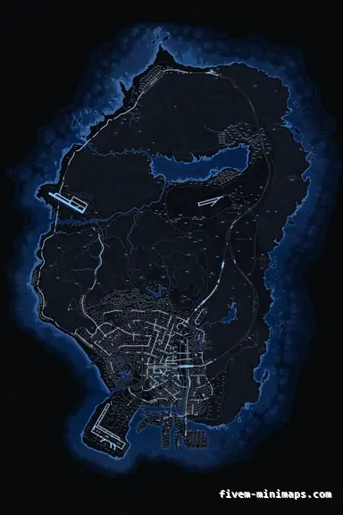
6144 × 9216 px · 78 files · with postal codesThe minimap and the pause map are streamed game textures. They are drawn by the engine, they are the same six tiles, and a texture resource restyles both.
An MDT, a tablet or a phone app is a web page. It runs in the game browser layer, and its map is an image or a web map loaded by that interface — usually a flat picture of Los Santos shipped inside the resource, sometimes a tiled web map, occasionally a live map from a dispatch panel. Whatever it is, it is a file belonging to that resource and the game engine has no involvement in it.
A dispatch website or a live map panel outside the game is a third thing again: it is drawing positions from your server onto whatever base image the panel was built with.
Because nothing connects them. The MDT is not reading the game textures, and it could not — it is a web page with no access to streamed game assets. It loads whatever image its author put in it, and that image was chosen when the MDT was built, long before you bought a map.
This is also why the MDT map is frequently the ugliest map on a server: it is nobody's job. The framework author shipped a placeholder, the server owner never looked at it, and it quietly became the map officers use for planning while everybody argued about the radar.
Most MDT and phone resources point at an image file or a URL in their configuration, and changing it is a supported thing to do in that resource. The details belong to whoever wrote it, and their documentation is the right place to look rather than any map vendor.
What is worth doing regardless is making the three agree in tone. If the radar is dark and neutral and the MDT is a bright green satellite image, the server reads as assembled. Choosing a minimap in the same family as your interface — dark with dark, light with light — costs nothing and does most of the work.
The maps sold here export as a FiveM resource of streamed textures, which is what the game needs and is not the format a web interface loads. If matching your MDT image is the goal, that is a conversation with whoever maintains the MDT.
The radar, by a wide margin, because it is always there. An MDT map is opened deliberately, used for one lookup and closed; the radar is glanced at hundreds of times an hour and is what a player builds their mental model of the city from.
That is the argument for spending your effort in that order: the always-visible map first, the interface maps afterwards. It is also the argument for consistency of geography rather than of style — if your MDT map shows postal numbers and your radar does not, officers end up translating between two systems, which is far more costly than a colour mismatch.
This is where the three maps bite hardest. If your MDT calls locations by postal number, the radar needs the same numbers — either printed into the art or drawn by a postal HUD — or every dispatch is a translation exercise.
Check that the numbering matches before you choose a base style. Two different postal grids on one server is the single most disruptive interface problem a police department can have, and it is entirely invisible until the night somebody sends units to the wrong 1503.
Open the live preview and look at any street on any theme before you spend a cent.